Bring real-world context into 3D models with point clouds imports for fast, accurate designs. Enjoy full SketchUp Pro features for robust modeling and 2D documentation in one subscription. Available for Windows only.
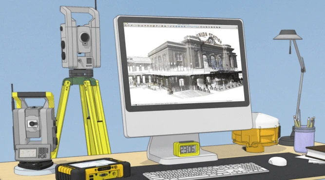

Import terrestrial and LiDAR scans, photogrammetry, mobile mapping, and drone captures as point clouds and view them in 3D.
Combine native SketchUp with 3D scan-specific tools in Scan Essentials to translate your point cloud into a 3D model.

Pull your point clouds into 2D space where you can annotate and dimension using SketchUp’s 2D documentation tool, LayOut.
SketchUp Pro Scan is ideal for users that need to turn real-world scan data (LiDAR, photogrammetry, drone scans, point clouds) into accurate 3D models and documentation. Used by:
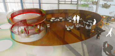
Discover how SketchUp ProScan can unlock 3D scan-to-model workflows to allow you to create, visualise, document and analyse.